Básar, the area south of Þórsmörk, has with many trails. The landscaped is shaped by volcanoes and glaciers. Unbelievably gorgeous at every turn. This hike changed our lives.

DINK Details
Some of the best views in our lives but scary....
Difficulty: Hard Month: Sept | Time¹: 7 hours Distance: 7 mi Elv. Gain: 2,500 ft |
Concerns: - Steep, narrow paths along cliffs - Slippery in rain | Equipment: Hiking Shoes (with grip) Extra water and snacks |
1. How long we took to walk it with breaks and all
I love you
Getting To Trailhead

Unlike the rest of Þórsmörk, this area is does not require crossing the Krossá river. The Básar Hut is at the end of F249 after a few smaller river crossings.
There is a wardens office here with information and maps. We got information on the area and parked our car here for the next two days.
The Hike
Start Time: 10:00 am
The hike started out with nice weather. We were prepared with supplies, hiking sticks and some good boots. This section of the trail is also shared with the multi-day trail, Laugavegur trail. We were happy to get a sneak peak of the trail we want to do in the future! We also ran into a German couple, this has been a theme since Germans have no fear of any hike.


Heading up was really interesting since there was a cloud ceiling covering the valley and glaciers.


As we ascended, it felt we got close enough to touch the cloud ceiling.

Móði Split
This point in trail is where you can loop back (we did) or head to Móði / following the Laugavegur trail. The Móði looked very steep but we saw the German friends traverse it without trouble. It was impressive.

Being the logical, safe travelers we are, we took a hard right to finish the loop. With a slanted descent, we gripped tight to the ground and headed down.
The valley was beyond gorgeous! We navigated down .


Obstacles
Heights, Rain, Narrow
This was our fear, the rain started, the path was narrowing and ascending at the same rate. Experience vs. logic. Beauty vs. safety. After a discussing how we both felt we decided to move forward. There are no pictures for this section.
Wrap Up
End Time: 5:25pm
Eventually we saw the most beautiful site, a sign on flat land point to safety!!


The rest of the trail was a radical change. There were some trees! (not common in 2018 Iceland). We enjoyed the remaining of the hike greatly. As we came to the end, we got some sun and a welcoming rainbow. A reward for overcoming our fears.

In the Area
Volcano Huts
Details
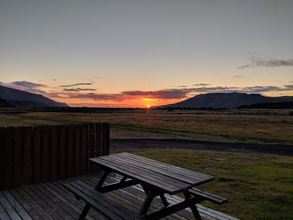
Stay the night! So much hiking
A camping site with glamping, cabins and a restaurant
Used our cabin kitchen for cooking chili, pilsa chili!
We stayed there after our death hike.
Link:
Maps
AllTrails
Note: We skipped the south out and back to Móði
Directions (Google Maps)
Notes: This is on F249, there are multiple river crossings.